


Strengthening Forest and Environmental Monitoring Capacity
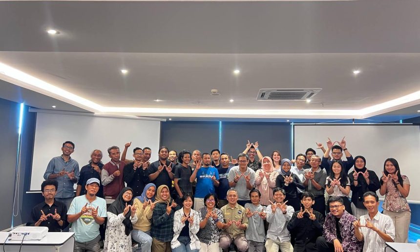

Over three days, from September 30 to October 2, 2025, research and mapping staff from the Wisnu Foundation had the opportunity to participate in training on the use of NbS Tools, Global Forest Watch (GFW), and Forest Watcher. The training was organized by WRI Indonesia in collaboration with the Koslata Foundation at the Prime Park Hotel in Mataram. Thirty-five participants from various civil society organizations, local governments, and environmental organizations in Bali, Nusa Tenggara, and Kalimantan participated.
The training aimed to improve stakeholders’ understanding and technical skills in utilizing data-driven technology for forest, land, and ecosystem monitoring. In addition to product introductions and hands-on practice sessions, the event concluded with a talk show sharing experiences using NbS Tools and GFW with practitioners.
In the final sharing session, Doni from Bulungan Regency, North Kalimantan, emphasized the tangible benefits of using NbS Tools for local governments. “Before this tool existed, we routinely created land cover maps every six months. With NbS, the work is much easier because the baseline data is readily available and can be directly used for forest cover reports and key performance indicators at the Environmental Agency (DLH) and the Regional Development Planning Agency (Bappeda),” he said. However, he also highlighted NbS’s limitations in terms of data updates. “Social data is often out of date, and users in the regions find it difficult to update it themselves. In the future, we hope to have a more flexible version.”
Similarly, Mr. Jun from Koslata added that while NbS has many advantages, communication and consolidation with stakeholders need to be strengthened. He also questioned the level of data accuracy compared to other, more well-known tools.
From a conservation perspective, Mr. Huda from IARI shared his experience using Forest Watcher and GFW in West Kalimantan. His team integrated GFW with smart patrols, drones, and camera traps to monitor animal releases and prevent illegal activity in protected areas. “GFW data is very helpful in determining patrol priorities, although field verification is still necessary. What’s important is that the government also uses similar tools for faster follow-up,” he explained.
Meanwhile, Mirza from WRI’s Landscape Monitoring program emphasized the importance of a regional weighting mechanism in prioritizing tree cover loss alerts. He believes that integrating GFW with smart patrols can improve the effectiveness of environmental law enforcement, although challenges in updating concession data and field validation still need to be overcome.
Through this activity, participants not only learned the technical aspects of using the tools but also recognized the opportunities and limitations of each tool. WRI Indonesia hopes that this training will strengthen the network of NbS Tools, GFW, and Forest Watcher users at the local level, while encouraging their use in more sustainable forest management policies and practices.