


Mapping Customary Villages
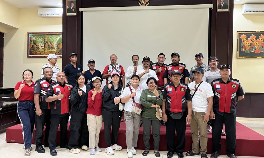


On May 22, 2025, the Wisnu Foundation signed a Cooperation Agreement with the Bali Provincial Customary Village Council (MDA) and the Customary Territory Registration Agency (BRWA) to develop a Participatory Mapping Model for Customary Village Authority. This agreement represents a joint effort between the parties to develop a Participatory Mapping Model for Customary Village Authority, encompassing spatial and socio-cultural data to generate accurate data as a basis for the Protection, Strengthening, and Advancement of Communities and Customary Villages.
As a manifestation of this collaboration, several joint activities have been carried out with the four model customary villages. These activities include Participatory Mapping Socialization and Training, as well as Training on Socio-Cultural and Spatial Data Processing for Customary Village Authority.
Wanayu Mas Customary Village – Gianyar
On June 19th, a socialization and training session was held. Participants declared that Wanayu Mas Customary Village was ready to become a model. Because of this commitment, the following day, spatial data collection for the village’s jurisdictional boundaries was completed. Participants were divided into two groups, heading south and northeast from the starting point of the northern boundary at the bridge on Jl. Raya Bedulu. The two groups then met at the southern boundary, near a rice paddy field, after following a rice paddy embankment and a fairly deep river. Preliminary results indicate that the Wanayu Mas Customary Village jurisdiction covers approximately 143 hectares and is surrounded by seven traditional villages (Tegallinggah, Kutri, Buruan, Bangunliman, Tengkulak Tengah, Bedulu, and Taman).
Kedonganan Customary Village – Badung
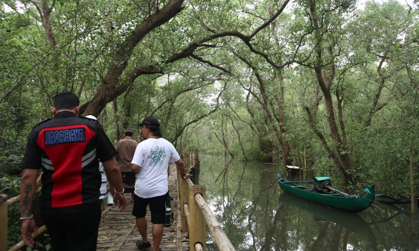
A socialization and training activity was held on June 26, 2025, in Kedonganan Traditional Village. The event was also attended by the Kelan Customary Village and Jimbaran Customary Village, neighboring villages to the north and south. Both were also present during the spatial data collection on June 28, 2025. Similar to Wanayu Mas, the boundaries of this traditional village were also captured in one day. Participants were divided into two groups, with one group taking the northern boundary and the other the southern boundary. Both the northern and southern boundaries followed the road, each approximately 1.5 kilometers long. Meanwhile, the west and east sides of Kedonganan Traditional Village are bordered by the sea. Interestingly, Kedonganan Traditional Village not only manages the sea as a fishing ground but also functions as a sacred area for the larung ritual on the west side. Furthermore, it is used for the mebuug-buugan ritual in the mangrove area on the east side of the village.
Sembiran Customary Village
Next, socialization/training and spatial data collection in Sembiran Customary Village were held on July 5-6, 2025. Located in North Buleleng, this traditional village holds the status of an ancient village. Like most ancient villages in North Bali, Sembiran also covers a vast area, approximately 1,700 hectares. Therefore, participants were divided into four groups to expedite the process. However, due to the challenging terrain, data collection on the customary village boundaries and key points took three days to complete. This customary village is bordered by rivers and ravines along most of its boundaries, and to the north, it borders the sea for approximately 1.5 kilometers. Sembiran Customary Village borders the mapped Customary Village of Pacung, as well as the Customary Villages of Julah, Madenan, Satra, Tajun, Tunjung, and Bangkah. Interestingly, Sembiran residents are only permitted to live within the residential area, not in the garden area. However, there is one area in the garden which is almost the same size as the settlement, owned by a foreign name.
Kerobokan Customary Village
Kerobokan Customary Village conducted a mapping of its jurisdictional boundaries between 2017 and 2021. This customary village is highly complex, consisting of 50 banjar (currently 52 banjar), and each banjar boundary has been mapped. Administratively, Kerobokan Customary Village is located in Badung Regency and Denpasar City, and administratively, it consists of four sub-districts and two administrative villages. Several banjar boundaries remain unagreed upon. The primary area that needs to be completed is socio-cultural data. A data collection strategy also needs to be agreed upon, given the large population spread across 52 banjars.
Socio-Cultural and Spatial Data Processing Training
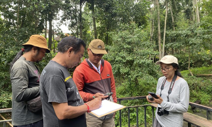
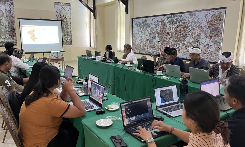
The mapping of four customary villages—Wanayu Mas Customary Village, Kedonganan Customary Village, Sembiran Customary Village, and Kerobokan Customary Village—as a model for Participatory Mapping of Customary Village Authority (Wewidangan Adat) has already yielded results. From July 16-20, 2025, a joint Spatial and Socio-Cultural Data Processing Training for the four model customary villages was held. The training took place at the Oranjje Hotel in Denpasar and lasted for four days:
- Day 1: Learn to complete Customary Village Socio-Cultural Data using the Customary Territory Registration Form with the BRWA (Customary Territory Registration Agency). Students also completed the Socio-Cultural Data Collection Format currently being developed by MDA-Wisnu-BRWA.
- Day 2: Begin learning about ArcGIS. Next, each customary village processed its spatial data using ArcMap, starting with transferring waypoints from GPS, then digitizing the waypoints into lines and polygons.
- Day 3: Creating boundaries and important points on each customary village map, followed by delineating the land use of each customary village.
- Day 4: Presentation of the results of completing the socio-cultural data form and spatial maps for the Sembiran, Kedonganan, Kerobokan, and Wanayu Mas Customary Villages. Congratulations!
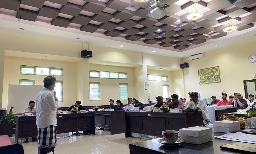
On the fifth day, we visited the Tenganan Pegringsingan Customary Village. The Tenganan Pegringsingan Customary Village’s territory was mapped through a participatory method in 2000. Back then, field data was collected using a compass and tape measure. It was drawn on millimeter-block paper, transferred to a tracing paper, and then digitized. In 2021, the map was updated with much easier and faster technology: simply using a GPS and processing it with ArcGIS on a laptop.
The Tenganan Pegringsingan Customary Village covers 917.2 hectares, stretching north and south, from the hills to the coast, flanked by two hills. The area is divided into rice fields (255,840 hectares), forest areas (591,000 hectares), and settlements (78,325 hectares). With its resources and proper management, and traditional rules passed down through generations that are consistently adhered to and will continue to be passed down, this traditional village is a sovereign village that provides prosperity for its residents.
This visit inspired the three customary villages (unfortunately, Kedonganan was unable to join) and the other participants. The collected and processed data will form the basis for developing a management plan for the customary village’s jurisdiction, aimed at improving the welfare of the customary village community. Therefore, participatory mapping activities—from collection and processing to presentation and analysis—are not a one-time activity, but rather a continuous and ongoing process.